




Land Information System
International Land Measurement Standard: Due Diligence for Land and Real Property Surveying, 1st edition, published by the International Land Measurement Standard Coalition in May 2019, defines a Land Information System (LIS) as: ‘A tool for legal, administrative and economic decision-making, and an aid for planning and development which is often described as consisting of a database(s) containing spatially referenced land-related data for a defined area and of procedures and techniques for the systematic collection, updating, processing and distribution of that data. When we use the term LIS in an ILMS context, we are using it in a more abstract sense to make it universally applicable rather than limiting the definition to that of a particular implementation in a specific jurisdiction. LIS often comprises multiple systems and databases held by a number of organisations at the federal, regional and municipal level. Therefore, it may helpful to think of LIS as a system of systems rather than a single unified system.’
[edit] Related articles on Designing Buildings
Featured articles
Check out some of the best features and news from Designing Buildings as well as key stories from around the web.
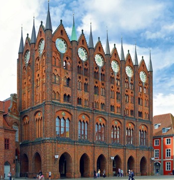
Bringing together expertise and creating cultural benefits.

CIOB celebrates positive Ofsted report.

The Building Safety Regulator announces a call for evidence.
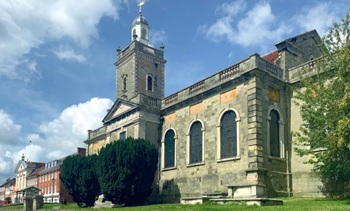
Government approach could undermine delivery and regeneration.
World's first mass timber data centre.
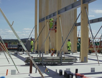
The overlooked environmental aspect of data centre development.
Introduction to radon awareness
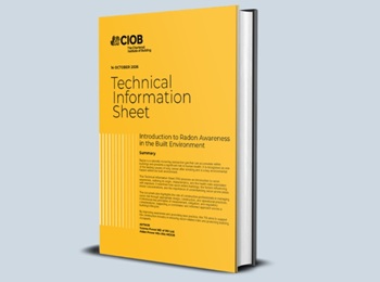
New technical information sheet published by CIOB.
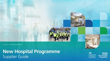
Updated supplier guide can help electrical contractors engage with NHP.

CIAT confirm the winners of the 2026 architectural technology awards.
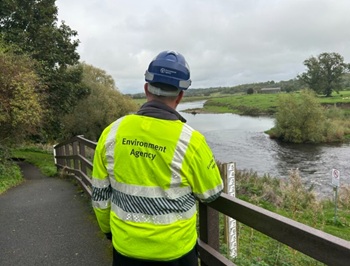
Government launches a one stop shop for flood preparedness.

Sir Edwin Lutyens: Britain's greatest architect? Book review.
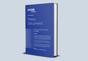
CIOB publishes free template to help assess and manage risks.
ECA's reflections on Party Conference season

Burnham wants to be confident of winning before asking for a fresh mandate.
Comments
[edit] To make a comment about this article, or to suggest changes, click 'Add a comment' above. Separate your comments from any existing comments by inserting a horizontal line.